We arrived to New Plymouth in afternoon, where we had lunch and headed to information centre to get information about the walks around mount Taranaki. Our plan was to do a Pouakai circuit, a two day trek. But at the info they said that it would be bad weather for the next few days and it would be dangerous to do the highest part of the trek in bad weather. So we decided to wait till next morning and ask about the track conditions when the info center in Egmont national park opened.
We drove to our camping spot for the night, ‘Volcanic view’. It was basically a backyard of the owner’s house and we were the only ones there. There was still time before sunset so we set up our tent and went to check out the Egmont national park. The evening was rainy and we couldn’t see the summit at all. We were thinking about doing a 20 minute natural walk but ended up doing two hour Veronica loop track, since it looked more attractive. It rose along one ridge of Taranaki and winded back on the other one, probably providing nice views on a clear day. Even though we could not see far and the track was getting muddy in light rain the walk was pleasant and took only one hour instead of two. We started fantasizing about doing maybe a one-day summit track instead of two-day circuit, if the weather was going to be bad.
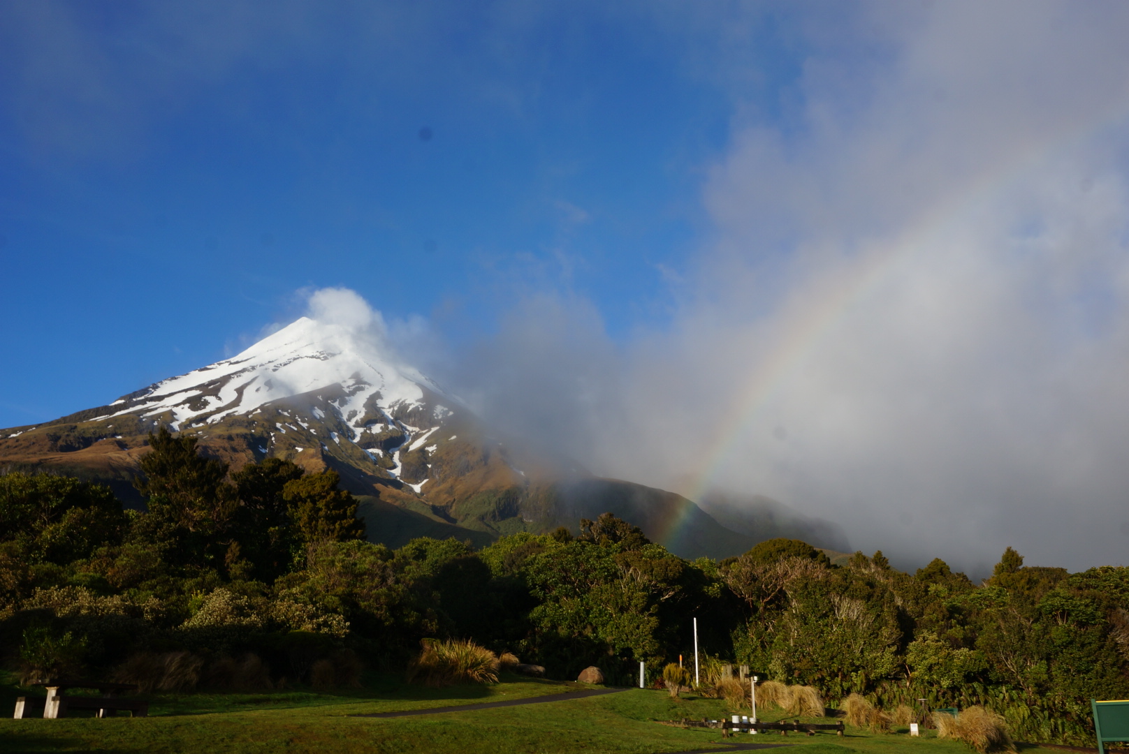
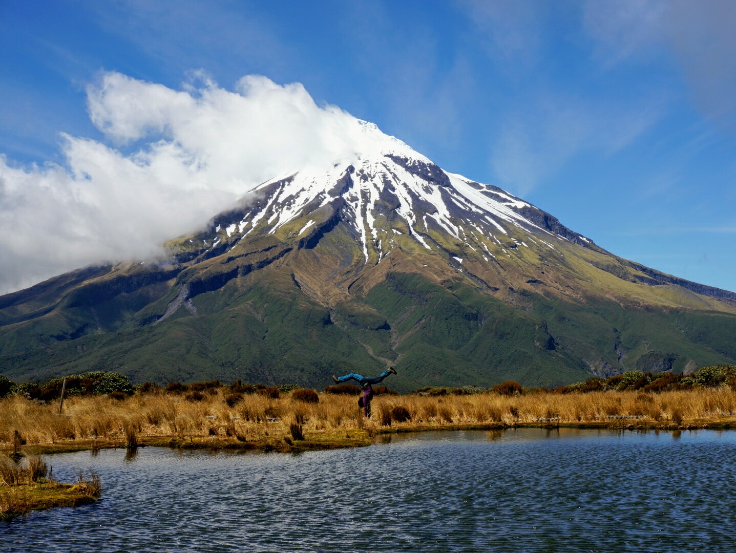
The next morning after rainy night we woke up to a surprisingly clear sky and a view over the volcano that stood proudly alone on the middle of a flat western end of the island. We understood pretty fast that we were not going to summit: the top was covered in snow requiring crampons, ice hacks and alpine experience. We didn’t have any of those. In the info they confirmed that summiting season for normal people starts in January when the snow has melted.
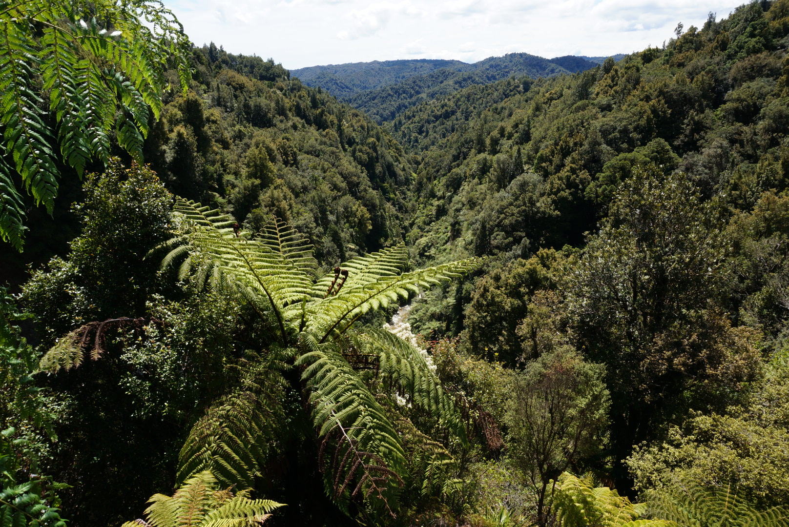
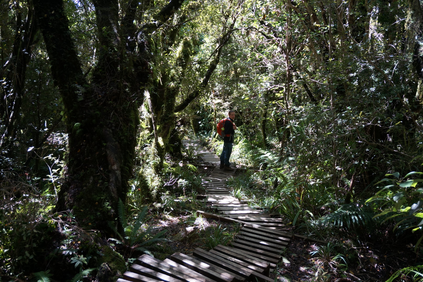
In the end we decided to do a shorter day walk (5-6 hours) to Pouakai tarns to get the main view of Pouakai circuit. Most of the track goes in the forest and for a long time we lost track of where the mountain was. The track was made very carefully and we avoided most of the mud, but some parts were covered in water after night’s rain.
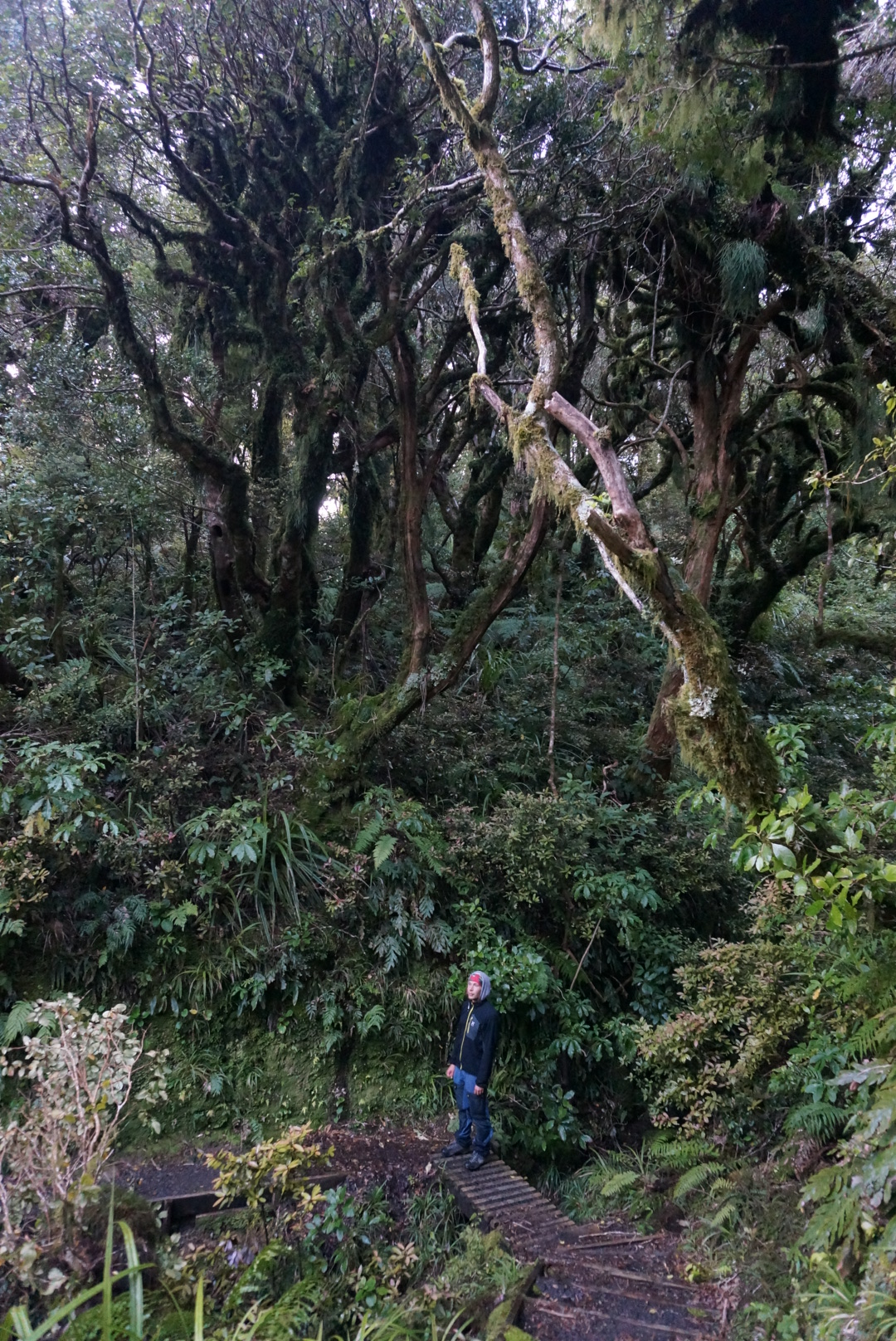
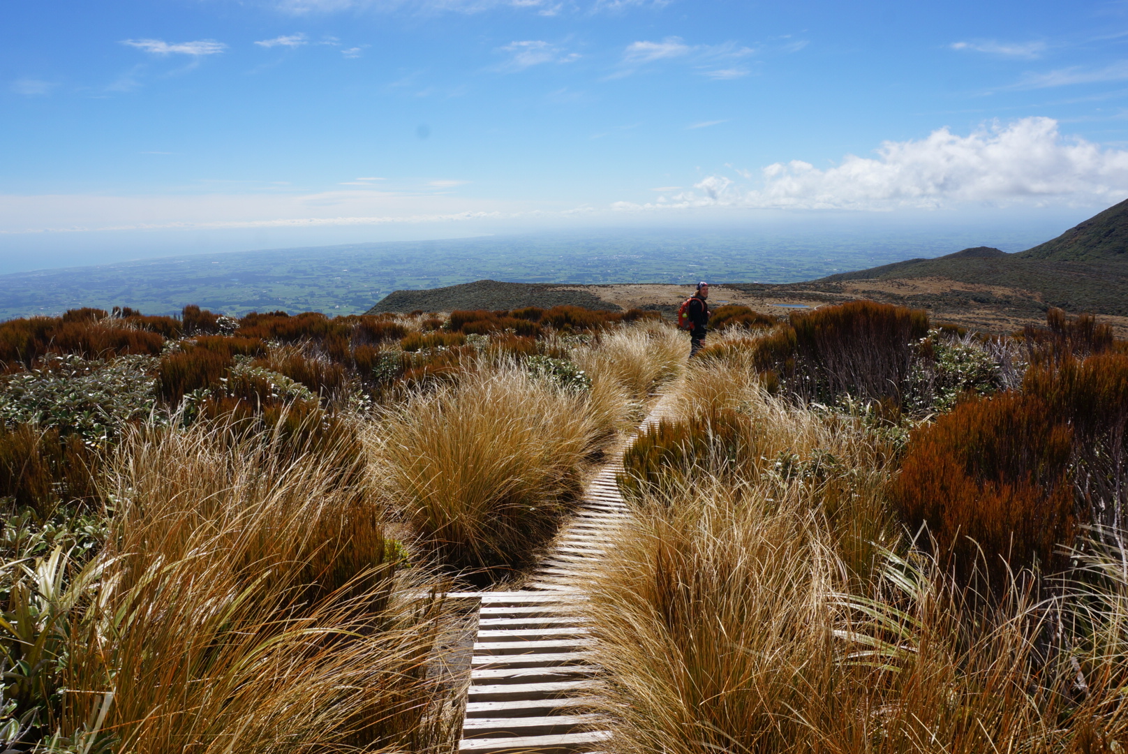
At some point trees turned into bushes and we got a view over countryside, New Plymouth and Tasmanian sea. After a little while more we arrived to Pouakai hut, where we had some snacks before climbing to the highest point of our hike. There we finally saw colourful mount Taranaki. By this time forest had turned into low golden shrub and we could see well all around. But it was also very windy, so we could not see the reflection of the mountain in the Pouakai tarns.
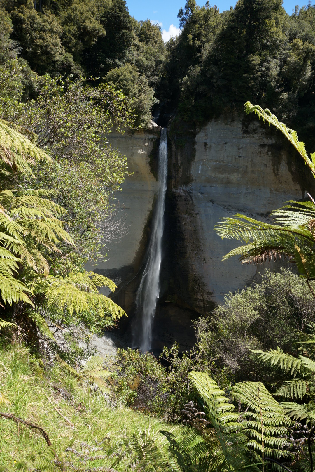
On the next day we decided to head to Tongariro national park. It was another clear day, and probably the warmest so far. We were expecting a three hour drive, but after driving almost for an hour we came to a blocked road – there was a rally competition, and they had closed the road until evening. We had no other choice but to return all the way back to New Plymouth and take another highway. On the way we took a little detour to see the highest waterfall on the North Island – Mount Damper falls. It was a short 20 minute walk through farmland that suddenly changed into lush forest.