As our three hour drive from Taranaki turned into five hour endeavor we were running late and didn’t have time to reach Whakapapa village’s info to reserve the shuttle bus for the next day for Tongariro alpine crossing. Luckily, we didn’t have to. A helpful lady at Taumarunui (a small town on our way) info center booked us a shuttle for the next morning. That being done the only thing left was to find a camping spot at Whakapapa village. Luckily there was space at the holiday park so we booked it for two nights. It was also pretty convenient that the shuttle to Tongariro would leave in front of the holiday park. The first night we were the only campers with a tent so we had the grassy area all to ourselves. During the night we heard a kiwi for the first time. The sound was pretty loud and at first it sounded like someone was screaming.
In the next morning at 7.00 we hopped on an old bus that looked liked self-made and rode to Tongariro national park to the beginning of our route. The driver said that she will pick us up at the end of the track at 2.30, 16.00 and 17.00. To complete Tongariro alpine crossing, 19 km track is said to take 6-8 hours. We started walking at 7.30 so we planned to reach the first bus back.
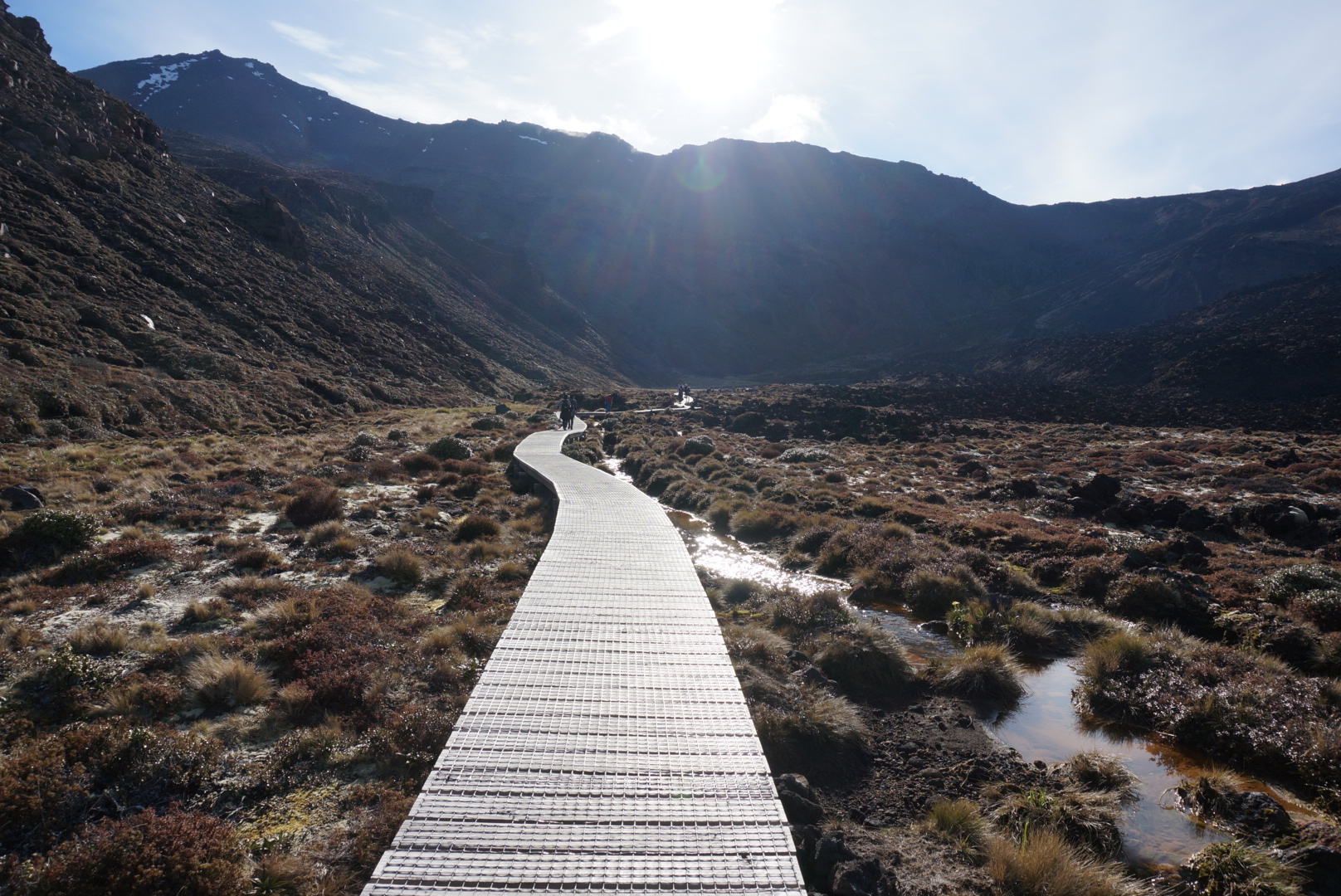
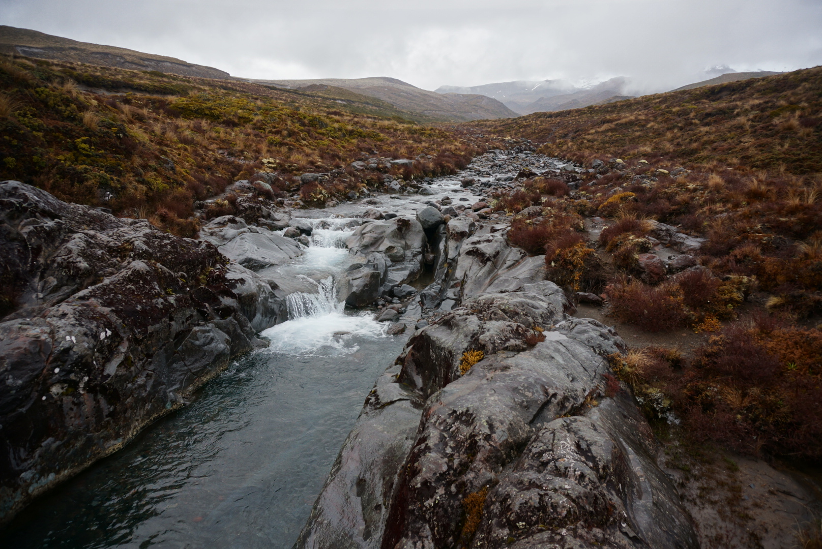
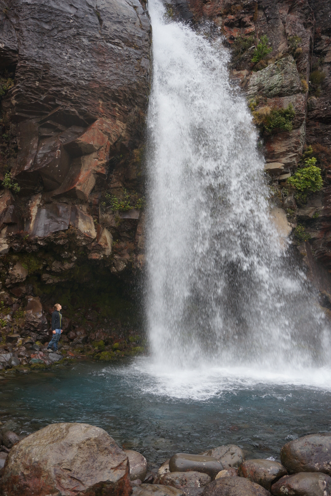
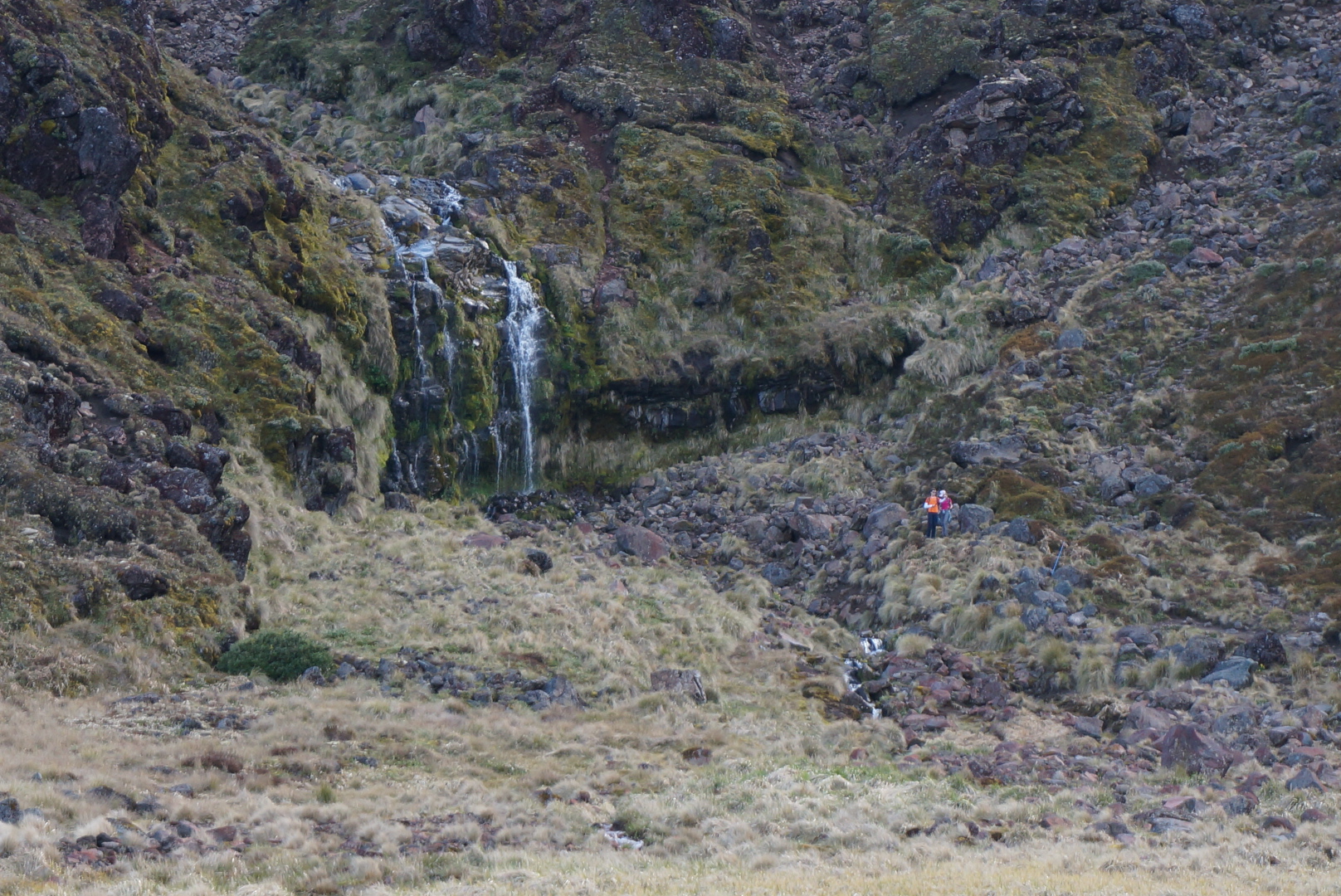
At first the track followed a boardwalk along alpine terrain. It was weird to see how there was a clear line between crassy farmland area and the rugged alpine scenery where we were walking. After walking maybe 3 km, the track separated to a small side trip to see waterfalls. It was really sunny and hot in the morning, everybody was stripping to teashirt. At first we thought that we brought too much clothing with us, but as the track went up it got colder.
After walking about 3km the boardwalk ended and the track started slowly ascending. We went past the first crater (south crater). The track started to get steeper. We went right past the highest mount in Tongariro Area Mt. Ngauruhoe (or Mt Doom, 2287m!), Mt. Tongariro being only 1967m.
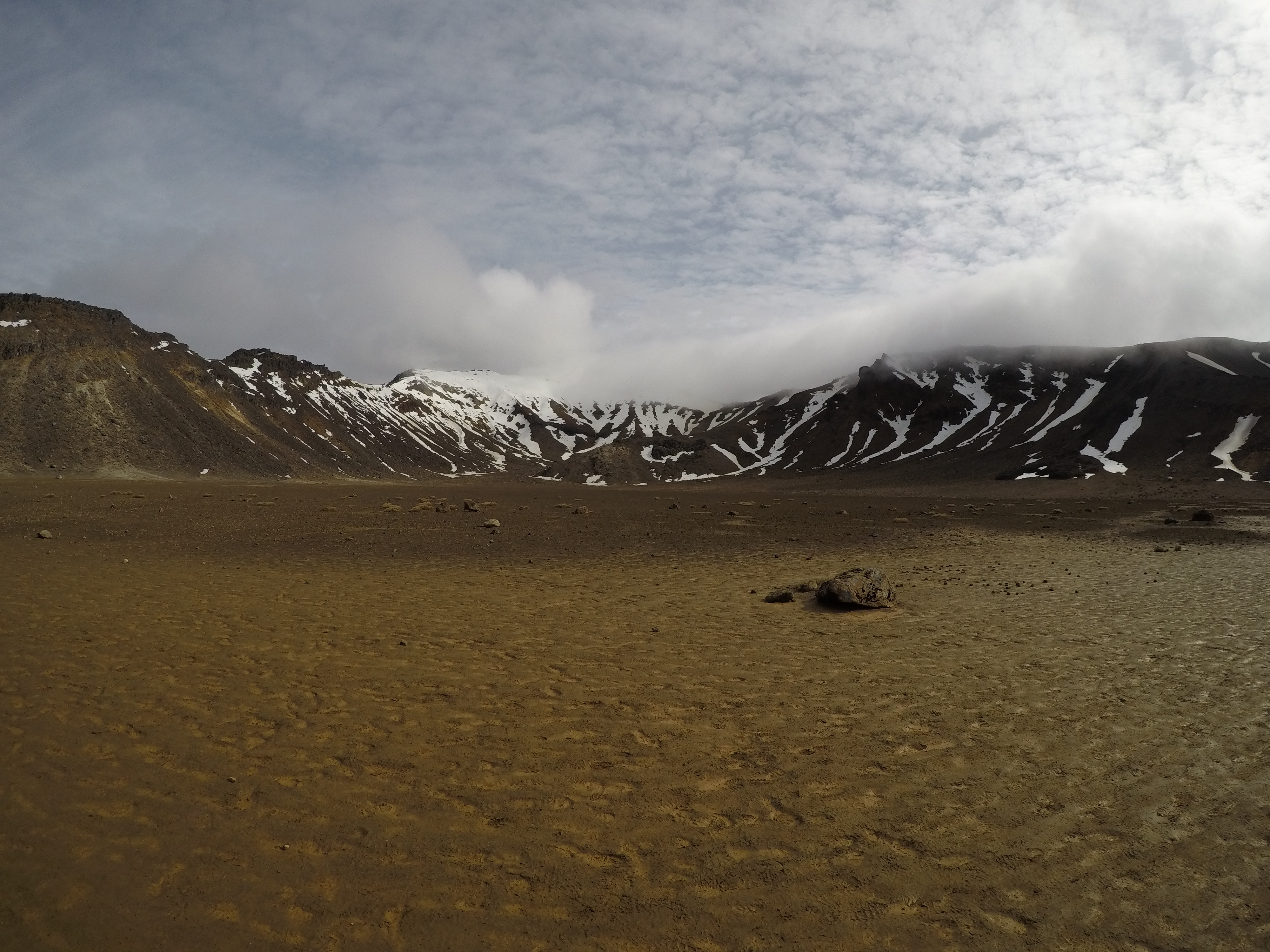

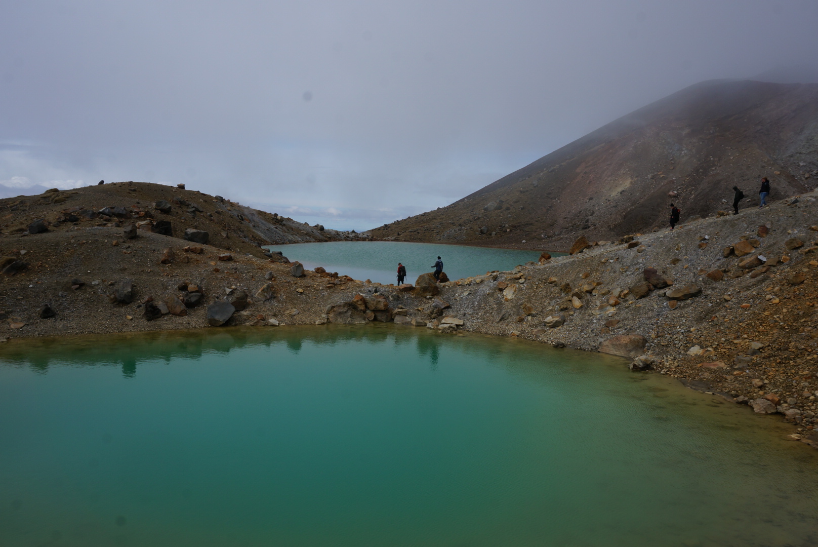
Just before the highest point of the track (1886m) there was a really steep, about 200m, climb. After that we passed the Red crater and the track started to descent to the main attractions to this trek, the Emerald lakes. After walking 10 km, halfway of the trek, we arrived to these three blue alpine lakes and decided to have a short lunch break.
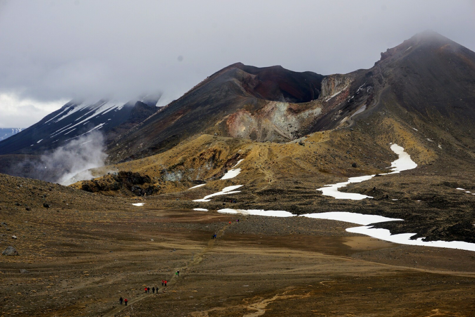
From the Emerald lakes the track first went up to a hill were we could see the valley and the central crater. The track went past a blue lake. We started to see more vegetatation around. Almost all the way, apart from the start of the trek, the scenery was moonlike with no plants around.

Last part of the trek we followed a long snaky road descending to a hut that is used for the Tongariro northern circuit trek. From there it was only one and half hours to the pick up point. The alpine scenery changed to bushes and then to forest. Last few kilometers we walked in a forest following a river and at 2.15 we reached to the carpark where the bus was waiting for us.

The next morning we packed our tent and before leaving Whakapapa village we did a two hour Taranaki falls loop.